
Goa board recommends settlement zone for eco-sensitive hillside, approvals rest on slope surveys paid for by developers
26 percent of 901 applications covered slopes above the legal limit
Images
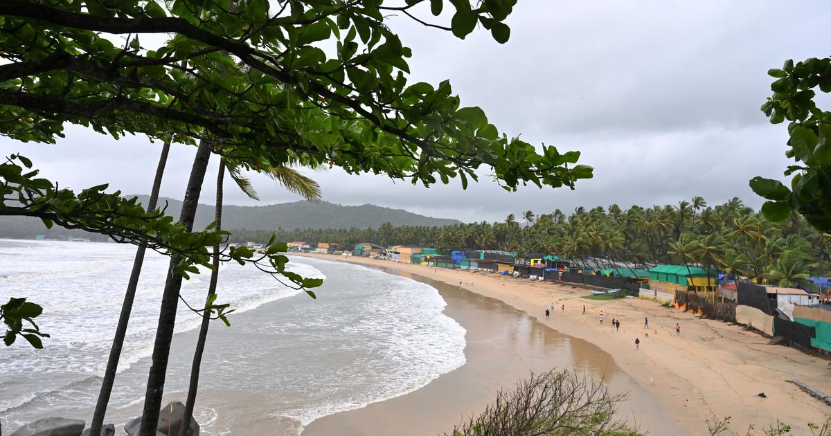 A view of Palolem beach against the Western Ghats in Goa.
|
Scroll Staff
scroll.in
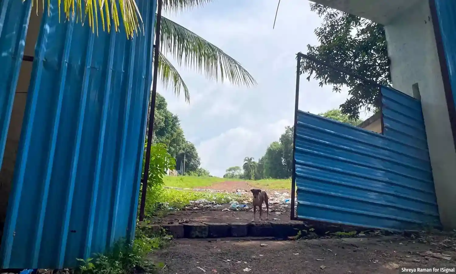 Construction underway on a plot with steep slope in North Goa’s Socorro village.
scroll.in
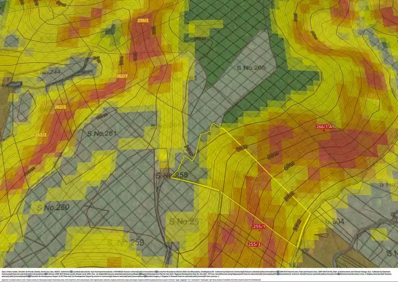 The area within the yellow box is the plot owned by KGL, that they want to convert to a settlement zone. The areas coloured in red and yellow show slope data from ISRO’s CartoDEM elevation model. Red shows slopes between 25-35%, orange denotes slopes between 20-25% and yellow depicts slopes between 10-20%.
scroll.in
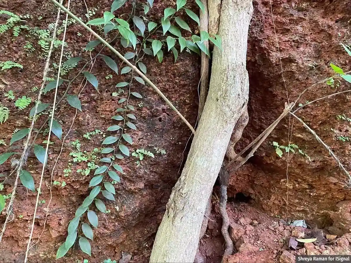 Goa’s hills are largely made of porous laterite rocks held together by tree roots.
scroll.in
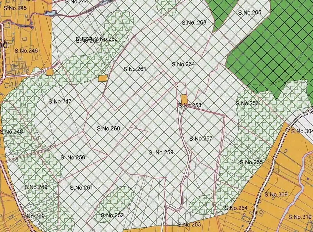 A portion of the land use plan of Salvador Do Mundo village in North Goa. The green zig-zag lines are demarcated as No Development Slopes. Source: Department of Town and Country Planning
scroll.in
The sale deed for 20,000 square metres of Goan hillside describes the land as "barren and waste land." The buyer, the Telangana real-estate firm KGL Realtors, paid for land the state's regional plan classifies entirely as Natural Cover, including 4,000 square metres marked No Development Slopes, where building is barred. On June 10, the state's Town and Country Planning board recommended rezoning the plot as settlement land.
The instrument is Section 39A, an amendment adopted in 2024 — the third in eight years — that lets individual landowners apply for plot-by-plot changes to the regional plan. That plan, published in 2010, had marked nearly 82 percent of Goa as eco-sensitive and closed to development. Goa is also among the few Indian states whose planning law covers the whole territory rather than cities alone, which makes the amendment a statewide tool. Citizens' groups collating the official gazettes count 901 applications granted provisional approval in the last two years, and 26 percent of them covered plots with slopes steeper than the 25 percent gradient that state law bars from construction.
What carries applications across that threshold is the applicant's own paperwork. For the Salvador do Mundo plot, a contour plan prepared by a private engineer hired by KGL measured the gradient at 18.49 percent. ISRO's satellite elevation model puts parts of the same land above 25 percent. The board's stated ground for recommending the change was that the area lay "within permissible gradient." In July, residents of Salvador do Mundo wrote to the chief town planner to object that the recommendation rested on unverified data from the applicant's own surveyor — the same conflict activists raise across the state, where the surveyors measuring the slopes are hired by the developers asking to cut them. Construction is already underway on a steep-slope plot in the neighbouring village of Socorro. Scroll asked Chief Town Planner Vertika Dagur whether the plans are independently verified and how the discrepancies are assessed.
The value transfer runs one way. A hillside barred from building is worth little; the board's signature converts it into settlement land, and the appreciation accrues to the owner on the day the zone changes. The plot sits on a hill above the wetlands, creeks and low-lying paddy fields that the Mapusa river crosses on its way to the Mandovi near Panjim.
Under Goa's law, no construction is permitted on slopes above 25 percent. Under Section 39A, the surveyor who decides whether a slope qualifies is paid by the applicant who wants to build on it.