
UN General Assembly endorses Equal Earth map projection
Resolution urges shift away from Mercator distortion of Africa’s size, United States votes no
Images
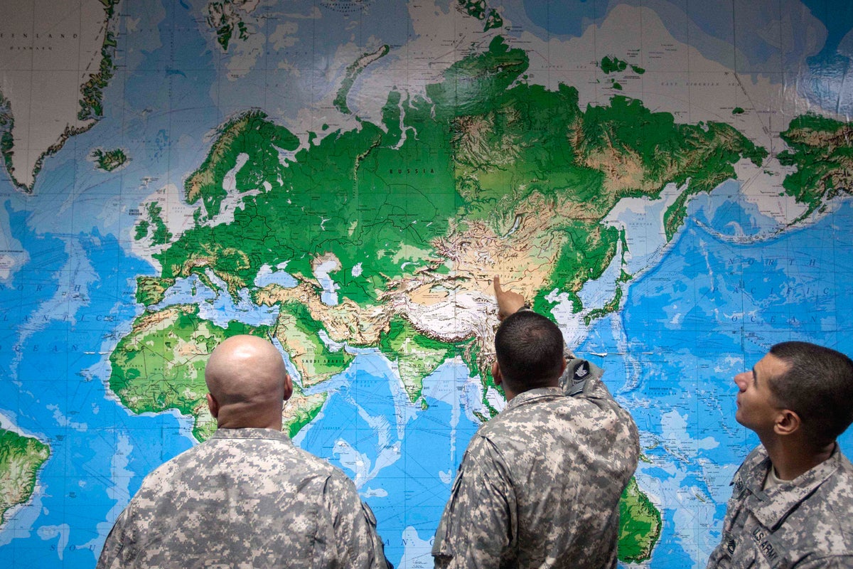 UN General Assembly endorses a new world map that shows more accurately Africa's size
independent.co.uk
UN General Assembly endorses a new world map that shows more accurately Africa's size
independent.co.uk
The UN General Assembly has endorsed a new world map projection that depicts Africa’s size more accurately, after a campaign led by African countries and advocacy groups, according to an Associated Press report carried by The Independent. The resolution, sponsored by Togo and backed by members of the African Union, passed with 164 votes in favour; the United States voted against, and six countries abstained.
The vote encourages governments and institutions to move away from the Mercator projection—a 16th-century design built for navigation—and toward the Equal Earth projection, which aims to preserve area more faithfully. Mercator enlarges landmasses near the poles while shrinking those near the equator; the AP notes that it can make Greenland and Africa look roughly the same size, while Equal Earth shows Africa as about 14 times larger. The resolution does not ban Mercator or impose a mandatory replacement, leaving adoption to school systems, publishers, tech platforms and map users who decide what to print, teach and embed.
That division matters because maps are not just classroom posters; they are defaults in software, graphics and newsrooms, and defaults persist when switching costs are real and accountability is diffuse. A non-binding UN endorsement cannot force a redesign of digital map tiles or a rewrite of textbook contracts, but it does give bureaucracies a citation when they want to update standards—and it gives campaigners a global vote tally to bring to procurement meetings. Africa No Filter, one of the lead campaigners, said it wants accurate maps used across schools, textbooks, newsrooms, businesses and digital platforms.
The voting record also shows how symbolic measures become proxies for broader alignment. Several countries hailed the change; France’s foreign minister wrote that correcting a distorted representation is an act of truth, while the US cast a “no” vote despite the resolution’s lack of enforcement. Geographer Mark Monmonier of Syracuse University told the AP that outside navigation there is little point in using Mercator, a blunt assessment that collides with how widely the projection remains used simply because it is familiar.
Nothing in the resolution changes borders or alters trade flows. It changes which distortion gets treated as normal when the next generation learns what the world looks like.
The General Assembly’s text asks institutions to consider a different map. The Mercator projection remains legal, printable and still embedded in countless existing materials.