
UN set to vote on new world map projection
Togo-backed resolution urges shift from Mercator to equal-area designs, non-binding text still targets classrooms and tech defaults
Images
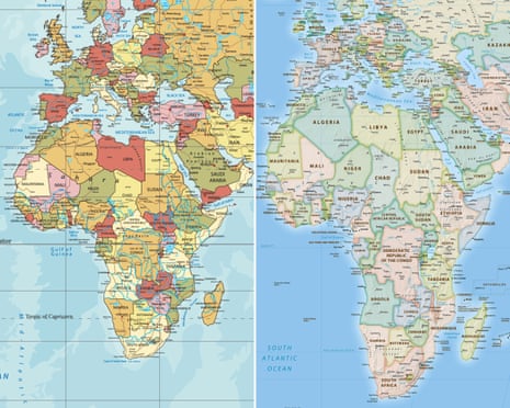 Africa on the traditional world map based on the Mercator projection, left, and on the 2018 Equal Earth map, right. Composite: equal-earth.com, Getty Images
theguardian.com
Africa on the traditional world map based on the Mercator projection, left, and on the 2018 Equal Earth map, right. Composite: equal-earth.com, Getty Images
theguardian.com
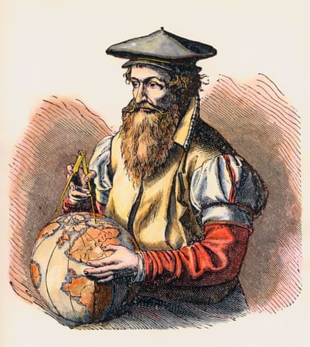 The 1569 map by Gerardus Mercator (1512-1594) has remained the global standard. Photograph: Stock Montage/Getty Images
theguardian.com
The 1569 map by Gerardus Mercator (1512-1594) has remained the global standard. Photograph: Stock Montage/Getty Images
theguardian.com
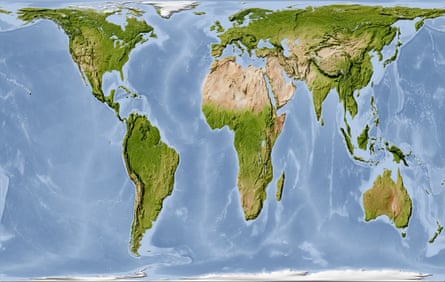 The 1973 Gall-Peters world map has been used as an alternative to the Mercator. Photograph: Michael Schmeling/Alamy
theguardian.com
The 1973 Gall-Peters world map has been used as an alternative to the Mercator. Photograph: Michael Schmeling/Alamy
theguardian.com
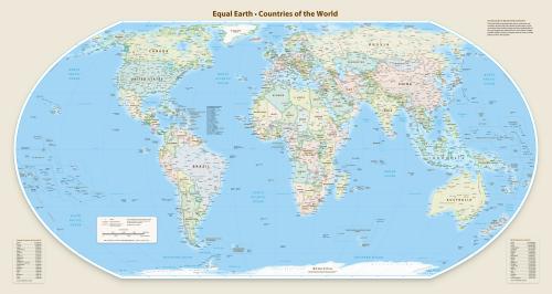 The 2018 Equal Earth Map. Photograph: equal-earth.com
theguardian.com
The 2018 Equal Earth Map. Photograph: equal-earth.com
theguardian.com
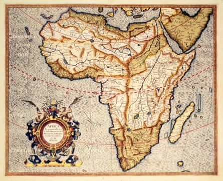 A map of Africa from Mercator's atlas dating between 1595-1602. Photograph: Royal Geographical Society/Getty Images
theguardian.com
A map of Africa from Mercator's atlas dating between 1595-1602. Photograph: Royal Geographical Society/Getty Images
theguardian.com
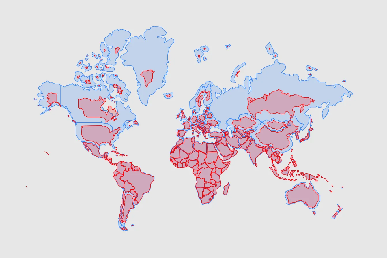 Equal Earth map (shown in red) layered over the Mercator projection (shown in blue)
newsweek.com
Equal Earth map (shown in red) layered over the Mercator projection (shown in blue)
newsweek.com
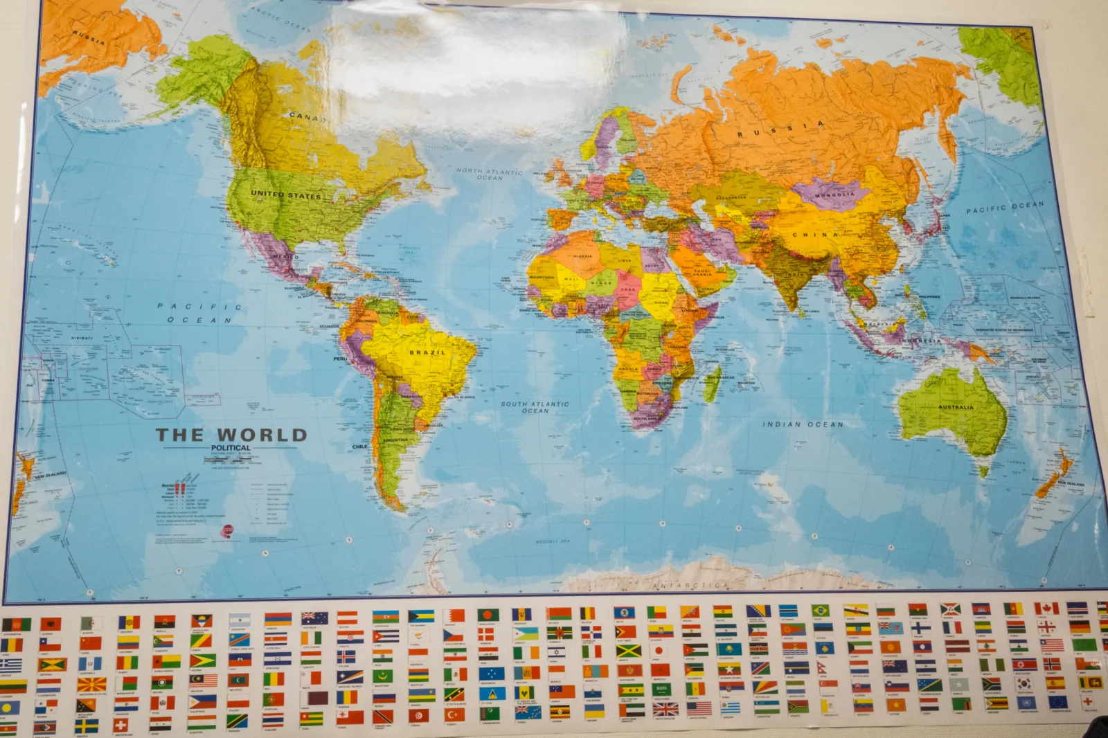 Man in front of world map on wall - stock photo
newsweek.com
Man in front of world map on wall - stock photo
newsweek.com
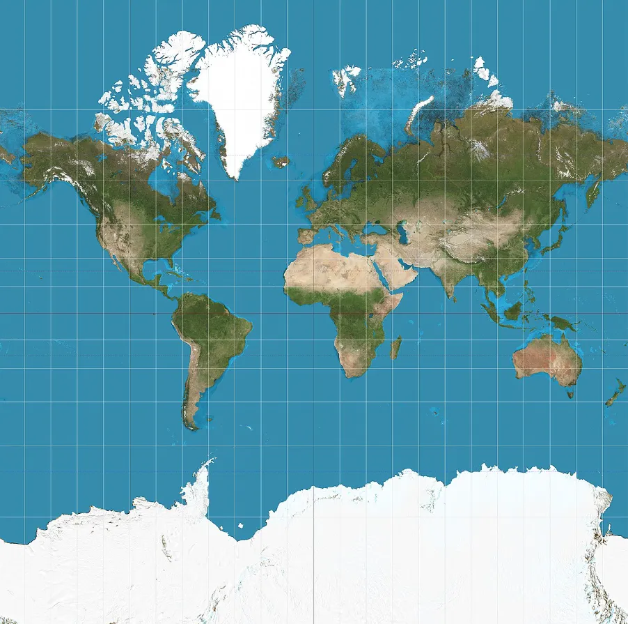 A world map using the Mercator projection, which preserves compass direction but increasingly enlarges landmasses farther from the equator.
newsweek.com
A world map using the Mercator projection, which preserves compass direction but increasingly enlarges landmasses farther from the equator.
newsweek.com
 Fujian, China - April 6, 2017: Close up of United Nations flag.
newsweek.com
Fujian, China - April 6, 2017: Close up of United Nations flag.
newsweek.com
UN member states are set to vote on Friday on a General Assembly resolution urging a shift away from the Mercator world map in favour of equal-area projections such as the 2018 “Equal Earth” design. The draft, sponsored by Togo and backed by the African Union, is framed as a push for maps that show Africa and other equatorial regions at their true scale, according to The Guardian.
Mercator, introduced in 1569 for maritime navigation, makes lines of constant compass bearing appear straight—useful for sailors, less so for classrooms. Its mathematics enlarge landmasses the farther they are from the equator, inflating high-latitude regions while shrinking those closer to the tropics. Campaigners point to the familiar visual shorthand in which Africa looks comparable to Greenland even though Africa is far larger; Newsweek notes the proposal’s supporters argue that such distortions seep into how people intuit the world’s “centre of gravity” long before they encounter trade data, demographic projections, or military balance sheets.
The resolution would not ban Mercator, and UN resolutions are non-binding. But the UN’s imprimatur is a procurement and curriculum signal: ministries of education, international organisations, and technology companies standardise on what is easiest to justify, not what is philosophically pure. When a map becomes the default in textbooks, slide decks, and consumer software, it quietly sets the baseline for what looks “big,” “far,” or “peripheral”—and what does not.
Togo’s foreign minister, Robert Dussey, told an African Group briefing that the argument “goes beyond cartography,” describing maps as tools that shape perceptions from early schooling, Newsweek reports. The African Union endorsed the #CorrectTheMap campaign in August 2025 and asked Togo to lead the effort, The Guardian says. Supporters link the push to Africa’s bid for greater weight in global institutions, with advocates arguing that a continent’s visual presence should not be negotiated down by a centuries-old navigation aid.
Equal-area projections come with their own compromises: preserving area means sacrificing other properties such as shape, distance, or direction. The Equal Earth design was developed to keep relative area while presenting outlines that resemble what many people expect from a globe, aiming to avoid the extreme stretching associated with earlier equal-area maps.
If the resolution passes, the immediate change may be limited to UN walls and a handful of updated classroom posters. The most durable shift would come later, when the next generation opens a map app or a school atlas and Africa no longer has to be argued into looking like itself.